
X-01 hexacopter - multifunctional unmanned device, drone for special tasks


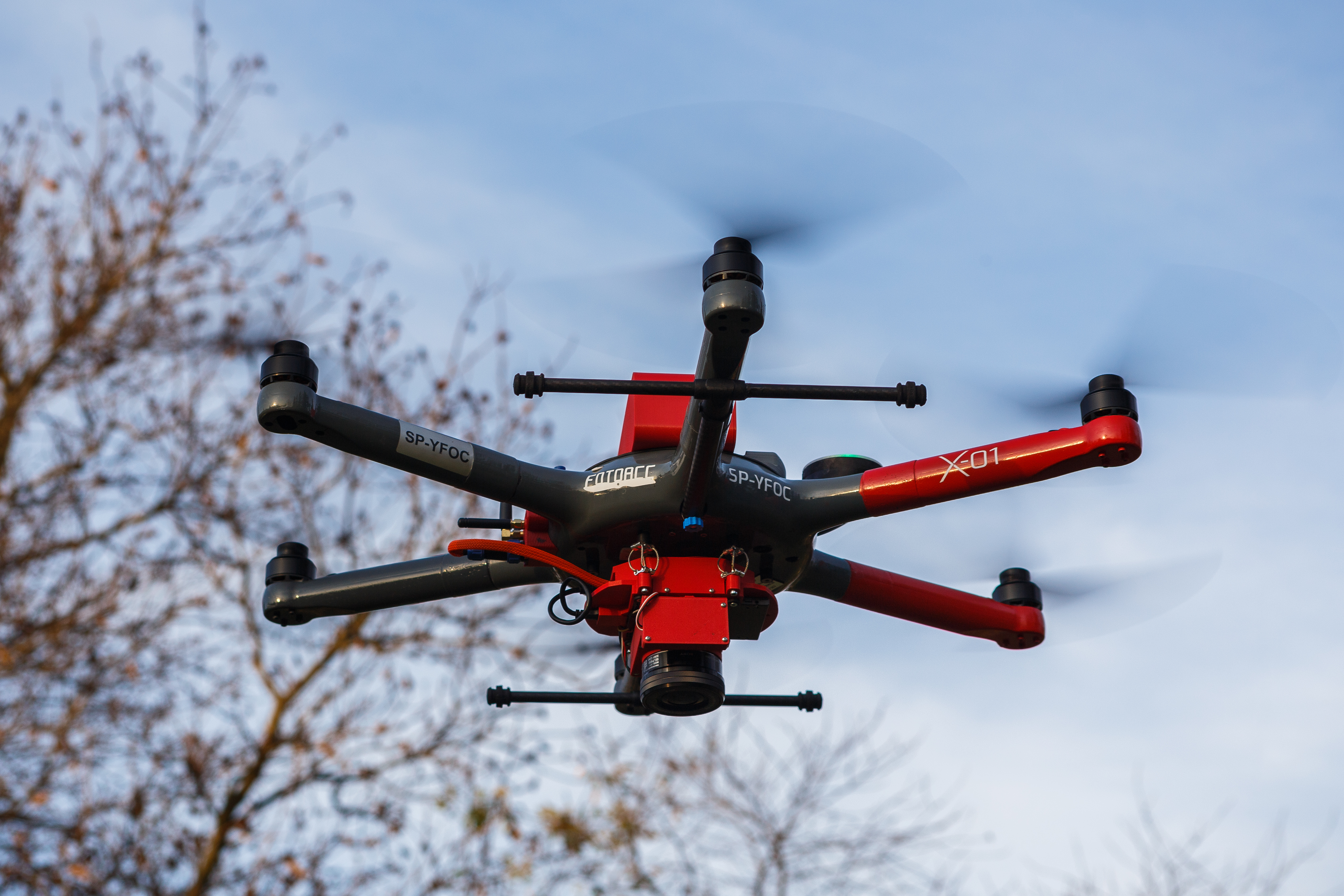
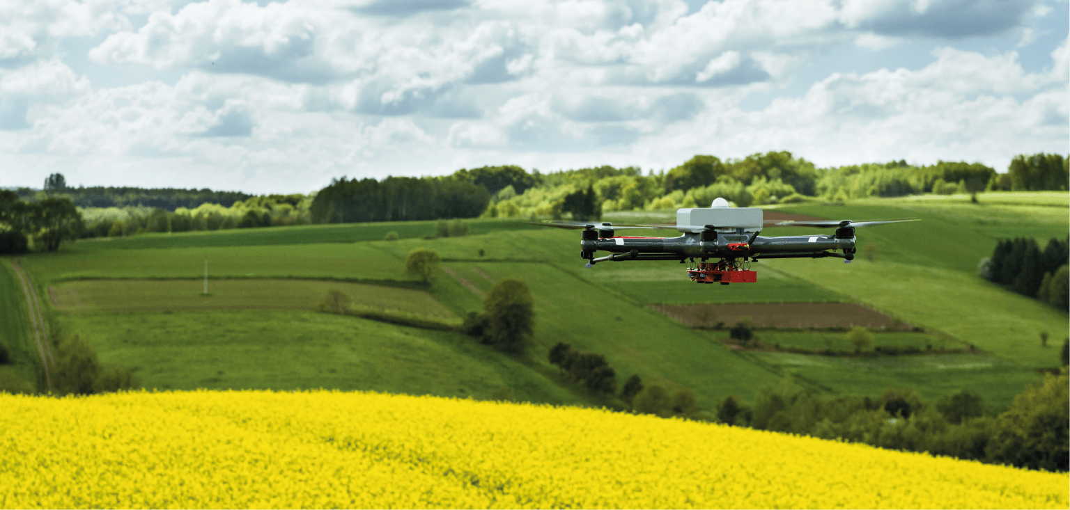
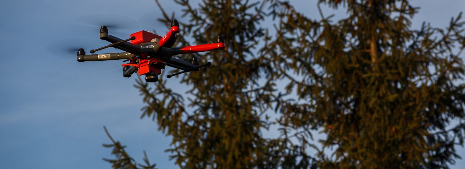
X-01 hexacopter - Versatile unmanned device for advanced operationsX-01 hexacopter is Fotoacc's first proprietary product, in development since 2013. It is a multi-purpose unmanned device designed for a wide range of applications in various industries - from agriculture and forestry, to infrastructure inspection and rescue operations. With the ability to work with a variety of components, the X-01 Hexacopter is ideal for both standard and specialized missions.Modularity and structural strength
The X-01 hexacopter is distinguished by its ultralight weight, shell construction made of carbon and basalt fiber, which provides high resistance to harsh weather, impacts and external factors. The structure is designed for fast flight preparation - thanks to the unassembled construction, minimizes the risk of misplacement and reduces operational readiness time. Its small size and light weight make the Hexacopter easy to transport even in difficult terrain.Wide possibilities of integration with components
The device is capable of working with various components, such as:
- Zoom, multispectral and thermal imaging cameras,
- Spray applicators,
- Resources for environmental measurements,
- Medical packets and other customized tools.
- Frame: Shell, carbon fiber
- Number of engines: 6
- Weight of the drone with battery: 4 kg
- Payload weight: Up to 2.5 kg
- Span between motors: 700 mm
- Operating temperature: -20°C to +35°C
- Unladen flight time: Up to 45 minutes
- Flight time with the largest load: Up to 20 minutes
- Maximum flight speed: 12 m/s (43.2 km/h)
- Control and telemetry transmission: 868 MHz, 5.8 GHz, LTE
- Video transmission: Up to 3 cameras simultaneously
- Communication range:
- Data and digital video transmission: Up to 2 km
- Automatic flights without vision transmission: Up to 10 km
- Unlimited coverage using LTE (requires GSM network)
- Transportation: dustproof and waterproof case (84.9 x 72.1 x 44.8 cm, IP67)
- Additional options: RTK with 10 cm accuracy
- Flights with applicators: Biological and chemical spraying over agricultural and forestry crops.
- Photogrammetric flights and terrain scanning: Creation of high-resolution orthophotos.
- Technical inspections: inspections of power lines, chimneys and critical infrastructure.
- Search and rescue operations: locating missing persons, rescue package drops.
- Flights with multispectral and hyperspectral cameras: Assessing crop health and damage levels in forestry.
- Flights with thermal imaging cameras: Detecting thermal anomalies and monitoring wildlife.
- Monitoring of infrastructure: Monitoring of construction work and inspections of completed projects.
- Environmental measurements: Testing air and water pollution.